

El Niño is often spoken about as though it is a single weather event. However, scientists have discovered that not all El Niños are the same.
Different forms of the climate phenomenon develop in different parts of the Pacific Ocean, producing varying effects on weather patterns around the world, including in Kenya.
For a country heavily dependent on rain-fed agriculture, understanding these differences matters.
The type of El Niño that develops can influence whether Kenya experiences beneficial rainfall, devastating floods, crop losses, disease outbreaks or disruptions to economic activity.
Scientists broadly classify El Niño into three categories: Eastern Pacific El Niño, Central Pacific El Niño and Mixed El Niño. Each has unique characteristics and consequences.
Eastern Pacific El Niño
The Eastern Pacific El Niño, sometimes referred to as the traditional or canonical El Niño, is the form most people associate with the phenomenon.
It occurs when unusually warm ocean temperatures develop in the eastern equatorial Pacific, particularly near the western coast of South America.
Also Read: Nairobi to Host Over 500 Top CEOs, Global Leaders and EU Investors
This type is known for producing some of the strongest global weather impacts.
As warm water shifts eastward, atmospheric circulation patterns change significantly, altering rainfall and temperature patterns across continents.
For Kenya, strong Eastern Pacific El Niño events have historically been linked to above-normal rainfall during the October to December short rains season.
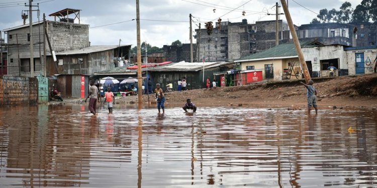
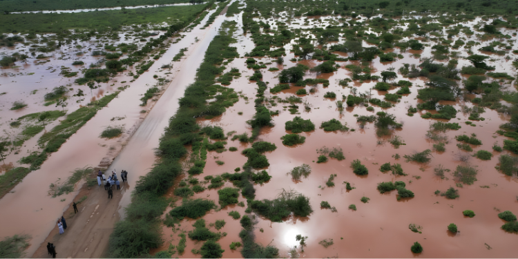
While additional rainfall can benefit crops and replenish water resources, excessive amounts often trigger flooding, landslides and infrastructure damage.
Communities living in flood-prone areas are usually among the hardest hit.
The 1997-98 El Niño remains one of the most memorable examples, bringing widespread flooding and causing billions of shillings in economic losses across East Africa.
Central Pacific El Niño
The Central Pacific El Niño, also known as El Niño Modoki, differs from the traditional form because the strongest warming occurs in the central Pacific Ocean rather than near South America.
The word “Modoki” comes from Japanese and means “similar but different.”
Although it is still an El Niño event, its impacts on rainfall patterns and atmospheric
circulation can differ considerably from those produced by the Eastern Pacific type.
Researchers have found that Central Pacific El Niño events can trigger climate responses that are not always as intense or as predictable as those associated with traditional El Niño episodes.
For Kenya, this means seasonal rainfall forecasts can become more complicated.
Some regions may receive less rain than expected while others experience localized flooding.
Farmers, water managers and disaster preparedness agencies therefore pay close attention to the exact location of warming in the Pacific Ocean before making forecasts or planning interventions.
Mixed El Niño
The third category is the Mixed El Niño.
This occurs when unusually warm waters spread across both the central and eastern Pacific Oceans.
It displays characteristics of both the Eastern Pacific and Central Pacific varieties and is often regarded as an intermediate form.
Because warming occurs over a larger area of the ocean, its effects can be harder to predict.
The resulting weather patterns may combine features associated with both major El Niño types, creating outcomes that vary from one event to another.
For Kenya, a mixed El Niño can produce rainfall patterns that are neither fully typical of a traditional El Niño nor entirely consistent with a Modoki event.
This uncertainty makes forecasting more challenging and increases the need for close monitoring by meteorological experts.
The Pacific Ocean’s warming alters global atmospheric circulation, affecting rainfall, temperatures and extreme weather events far beyond the ocean basin itself.
Follow our WhatsApp Channel and X Account for real-time news updates.