

Kenyans are being urged to plan their travel carefully after heavy rainfall triggered road closures and traffic disruptions in several parts of the country, with the weatherman warning that the situation is likely to persist due to ongoing flooding in low‑lying and downstream areas.
In a press release issued on March 19 by the Ministry of Interior, the Kenya Meteorological Department warned that heavy rainfall is expected across many regions from March 19 to March 24, with peak intensity forecast between March 20 and March 23, before easing on March 24.
The weatherman said some areas could receive more than 20 millimetres of rainfall within 24 hours, raising the risk of flash events, poor visibility, and transport disruptions.
“As Kenyans prepare to mark Idd‑ul‑Fitr tomorrow, the Meteorological Department has issued a warning of heavy rainfall expected across many parts of the country and continuing through to next Tuesday,” stated the Ministry of Interior.
The advisory covers the Lake Victoria Basin, the Rift Valley, the central highlands, and parts of eastern Kenya, including Nairobi. The weather agency cautioned that water may accumulate even in areas that do not receive heavy local rainfall due to runoff from upstream catchments.
Floods render roads impassable
The Kenya National Highways Authority (KeNHA) has issued advisories warning motorists to avoid flood‑prone sections of key highways after heavy rainfall caused road closures and traffic disruptions across the country.
The authority said the advisories were issued following reports of rising water levels, silt deposits, and overtopped bridges, rendering some roads impassable.
KeNHA urged motorists to exercise caution, follow traffic updates, and use the designated alternative routes provided for each affected road as emergency and maintenance teams work to restore safe passage.
Mai Mahiu–Suswa–Narok (B7) Road
Traffic along the Mai Mahiu–Suswa–Narok Road was disrupted on the evening of March 19, 2026, after water and silt deposits were reported near Kedong Ranch, close to Suswa.
Also Read: Floods Alert: Kenya Met Maps Out High-Risk Hotspots, Announces Weeklong Rain
Motorists were advised to avoid the affected section as road crews worked to clear debris.
Alternative routes:
- Ngong–Suswa
- Nairobi–Naivasha–Longonot–Suswa
- Nairobi–Naivasha–Nakuru–Mau Narok–Narok
Marigat–Loruk (B17) Road
The Marigat–Loruk Road remains closed at Km 29+800, where flooding caused by rising water levels in Lake Baringo has rendered the section impassable. The road has been closed since August 21, 2025, and motorists have been warned against using it due to safety risks.
Alternative route:
- Marigat–Chemalingot–Loruk
Kaplong–Kisii Road
A section of the Kaplong–Kisii Road was closed on March 17, 2026, after water overtopped the Kisonoi River Bridge near Mugeni, between Sotik and Chebilat. Authorities said upstream runoff worsened the surge, making the road unsafe.
Alternative routes:
- Kaplong–Sotik–Roret–Chebilat–Keroka
- Kaplong–Sotik–Roret–Ikonge–Kisii
Nairobi CBD and Urban Roads Hit by Flooding
In Nairobi, heavy overnight rains earlier this month and ongoing downpours have repeatedly affected sections of the Central Business District (CBD) and surrounding corridors, causing severe traffic delays.
Roads affected at various times include Uhuru Highway, Kenyatta Avenue, Jogoo Road, Mombasa Road, Lang’ata Road, Mbagathi Way, Lusaka Road, and low‑lying underpasses near the Nairobi Expressway. Conditions near Museum Hill and South C have slowed traffic during peak hours and complicated emergency response.
Mapping conducted under the Nairobi Rivers Regeneration Programme has identified parts of the CBD, Globe Roundabout, Gikomba, Eastleigh, and the Industrial Area as risk zones due to their proximity to the Nairobi River.
Also Read: Ruto Issues Orders After Floods Destroyed Property in Nairobi and Other Regions
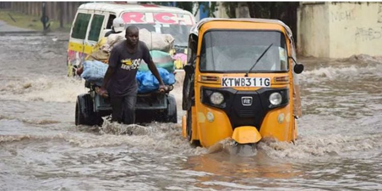
Motorists have been urged to avoid water‑covered roads, especially at night, after several vehicles stalled or were abandoned during recent downpours.
Nairobi Governor Johnson Sakaja said county disaster teams are on high alert, with personnel deployed across all sub‑counties to clear blocked drains, remove debris, and respond to incidents.
The county has activated its Multi‑Sectoral Disaster and Flood Mitigation Committee to provide round‑the‑clock monitoring and rapid response.
Families Displaced and Learners Out of School
On March 19, heavy overnight rains triggered flooding in parts of Trans Nzoia County, displacing dozens of families and disrupting daily life in several villages, according to the Kenya Red Cross.
In areas such as Namanjalala, rising water levels submerged houses, damaged farms, and cut off access roads, while more than 100 learners were unable to attend school after their learning materials were washed away.
In a statement, the Kenya Red Cross warned that the collapse of pit latrines had contaminated water sources, raising concerns over water‑borne diseases. Affected families appealed for food, clean water, and temporary shelter as authorities assessed the extent of the damage.
“In the aftermath of the heavy downpour in Sirende and Milimani villages, our RCAT team sprang into action, assessing the damage and registering those in need. Sixty‑two households are counting on us for support after losing their homes, infrastructure, and crops to the floodwaters,” the Kenya Red Cross said.
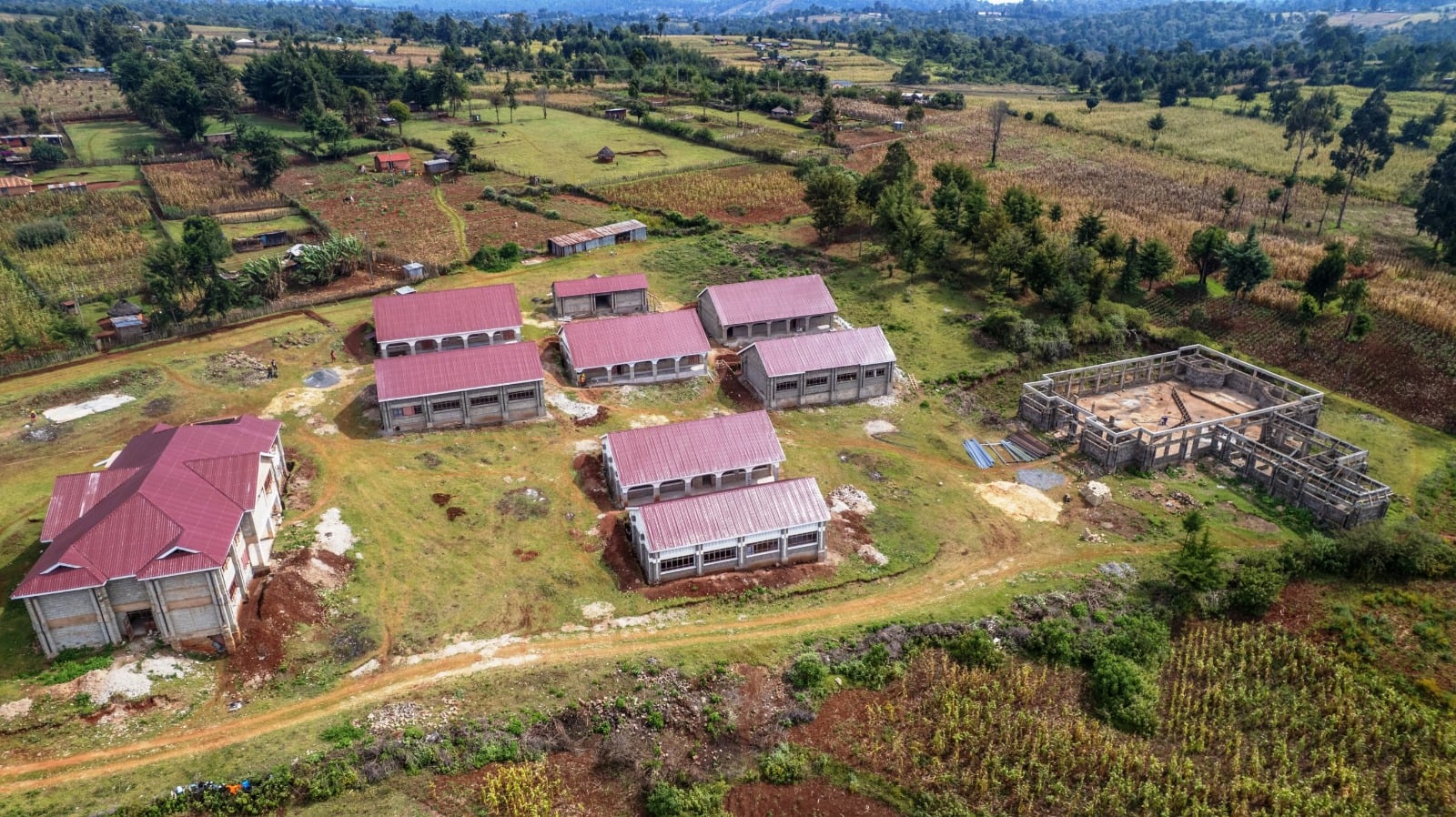
Heavy overnight rains triggered flooding in parts of Trans Nzoia County, displacing dozens of families and disrupting daily life in several villages.