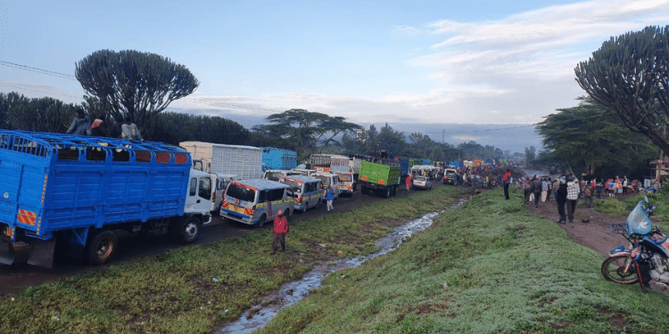
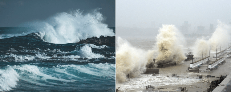
President William Ruto on Thursday, May 2, 2024, announced that Kenya is set to experience tropical Cyclone Hidaya at a time the country is grappling with the effects of heavy rains and flooding.
Ruto in a Cabinet dispatch seen by The Kenya Times announced that the country, particularly in the coastal region may be hit by the tropical Cyclone Hidaya.
In turn, the cyclone will result in heavy rainfall, large waves and strong winds that could affect marine activities in the Indian Ocean.
According to the World Meteorological Organization (WMO), a tropical cyclone is a rapidly rotating storm (strong winds and usually rain, thunder, lightning, or even snow).
The weather phenomenon is described as ‘tropical’ if it hits the southwest area of the Indian Ocean.
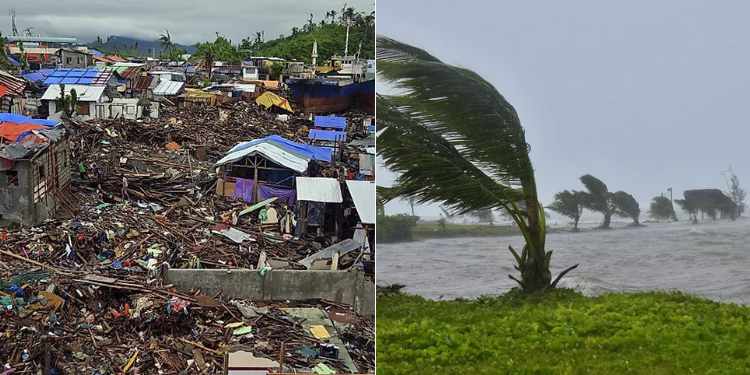
Typically, the season for tropical cyclones over the Indian Ocean is between November and May.
Also Read: Cyclone Hidaya: Ruto, Samia Suluhu Issue Warning as Storm Nears Tanzania & Mombasa
It begins over tropical or subtropical oceans, with very violent winds and torrential rain, sometimes accompanied by thunderstorms.
Cyclone
“A tropical cyclone is a rapidly rotating storm originating over tropical oceans from where it draws the energy to develop,” notes WMO.
According to the World Met, the cyclone has a low-pressure center and clouds spiraling towards the eyewall surrounding the “eye”, the central part of the system where the weather is normally calm and free of clouds.
The storm’s diameter is typically around 200 to 500 km but can reach 1000 km.
Tropical cyclones typically develop at latitudes between 5° and 30° North or 5° and 30° South of the equator in tropical oceans.
They do not form within 5° of the Equator because of a lack of sufficient Coriolis force and also because of the Hadley Cell at which the winds are deflated southwards or northwards.
In the case of Kenya, the country lies within Latitude 4° North and South hence it is safe from the weather phenomenon, meaning that the Country may only feel the impact of the spinoff of winds from the cyclone that may cause rainfall.
A tropical cyclone brings very violent winds, torrential rain, high waves and, in some cases, very destructive storm surges and coastal flooding.
The winds blow counterclockwise in the Northern Hemisphere and clockwise in the Southern Hemisphere.
Tropical cyclones above a particular strength are given names for public safety.
Also Read: Kindiki Issues Fresh 24-Hour Evacuation Ultimatum to Select Kenyans
The weather phenomenon is described differently in other areas such. In the Caribbean Sea, the Gulf of Mexico, and the North Atlantic Ocean among other areas within the North Pacific Ocean, it is called “hurricane”.
In the western North Pacific, the weather phenomenon is known as a called “typhoon”.
Cyclone Hidaya
According to Crisis24 publication, tropical Cyclone Hidaya is said to have developed over the South Indian Ocean, north-northeast of Comoros and east of Tanzania on Wednesday.
The Tanzania Meteorological Authority (TMA) on its part predicted that the storm would be also approaching the country’s Coast between Thursday and Monday.
Cyclone Hidaya is set to become moderate while passing north of Tanzania’s Mafia Island.
This is before it takes a “turn to track north northwestward as it approaches the eastern Tanzania coast late May 4 and will likely dissipate into a zone of disturbed weather as it passes between Unguja Island and the mainland May 5.”
The Kenya Meteorological Department Director David Gikungu has said that the large ocean waves predicted to hit more than 2 m high would be witnessed along the coast region starting from the night of May 2 night.
According to him, accompanying the heavy rains and large ocean waves would be strong winds projected to exceed 40 knots equivalent to 20.6 m/s.
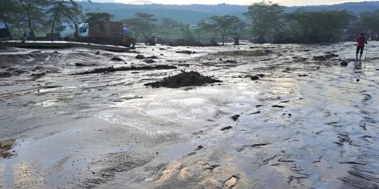
The news about the cyclone comes in the wake of heavy rains and widespread flooding that has claimed the lives of at least 188 people and displaced tens of thousands.
According to the weatherman forecast for the next three months, average to above average rains will continue in all parts of the country with flooding in low-lying areas.
Safety Precautions of a Cyclone
According to the James Cook University, residents in areas hit by storms are advised to disconnect all electrical appliances.
Also, one should ensure they stay inside and shelter (well clear of windows) in the strongest part of the building such as an internal hallway or bathroom.
If driving, motorists are advised to stop at an area well away from the sea and clear of trees, power lines and streams and remain in the vehicle.
Residents in an area set to be hit by a storm should also keep evacuation and emergency kits with them.
In the case, a building starts to break up, one is advised to protect themselves with mattresses, rugs or blankets under a strong table or bench or hold onto a solid fixture, e.g. a water pipe.
Finally, residents should be alert when the wind drops and avoid assuming that the cyclone is over as violent winds may resume from another direction.
As soon as the cyclone is over, residents should wait for an official communication from the government or relevant authorities confirming that it is ‘all clear’.
After the storm, you should also avoid going outside until officially advised it is safe. Other precautions include checking for gas leaks and avoiding use of electric appliances if wet.
Follow our WhatsApp Channel for real-time news updates:
https://whatsapp.com/channel/0029VaB3k54HltYFiQ1f2i2C





![14 Companies To Be Granted New Mining Licenses By Govt [Full List] Cs Joho Lists 14 Firms Seeking Mining Licences, Kenyans Given 42 Days To Respond]( https://thekenyatimescdn-ese7d3e7ghdnbfa9.z01.azurefd.net/prodimages/uploads/2025/11/Mining-CS-Hassan-Joho-touring-the-Voi-Gemstone-in-Taita-Taveta-County-on-Friday-August-16-2024.-PHOTOJoho-360x180.png)
