


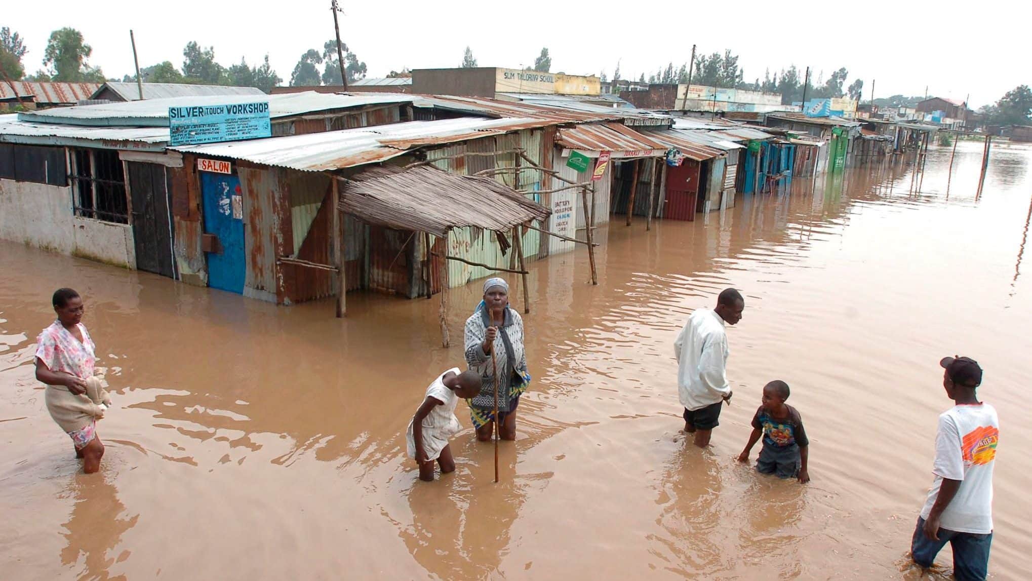
The Ministry of Interior and National Administration, under the Nairobi Rivers Regeneration Programme, has warned of 37 Nairobi neighbourhoods identified as flood Hotspots Amid heavy rains.
The Ministry noted that heavy rains continue across Kenya, increasing the risk of flooding in both rural and urban areas, with Nairobi among the most affected.
Authorities warn that rising water levels along major rivers have heightened the likelihood of flooding in several parts of the capital.
“Mapping Identifies 37 Flood-Prone Areas in Nairobi. Heavy rains continue to be experienced in different parts of the country, increasing the risk of flooding in both rural and urban areas, with Nairobi among the most affected,” the statement read in part.
Nairobi Estates Along River Corridors Listed as High Flood Risk
A mapping exercise conducted under the Nairobi Rivers Regeneration Programme has identified 37 neighbourhoods located along key river corridors and other flood-prone zones.
The assessment focuses on areas situated near the Nairobi, Ngong, and Mathare rivers.
In Nairobi East, the areas identified include Kiambiu, Dandora, Kariobangi, Kayole, Komarock, Njiru, Ruai, Mwiki, Donholm, Savannah, Tassia, and Fedha.
Also Read: Nairobi Water Issues Update as Heavy Rains Delay Pipeline Repairs
Many of these neighbourhoods lie downstream along sections of the Nairobi River and its tributaries.
In Nairobi West, flood-risk locations include Madaraka, Nairobi West, Lang’ata, Kawangware, Kangemi, Lavington, Westlands, Parklands, Kitisuru, Spring Valley, Kileleshwa and Chiromo, which are situated along upstream and midstream sections of the river network.
Nairobi Neighbourhoods Identified as Flood Hotspots
In the Nairobi North corridor, neighbourhoods such as Mathare, Korogocho, and Lucky Summer are located along the Mathare River, where dense settlements closely border the riverbanks.
Within Nairobi Central, key locations along the river corridor include the Central Business District (CBD), Globe, Gikomba, Eastleigh, and the Industrial Area, through which sections of the Nairobi River pass.
Also Read: Ruto Issues Orders After Floods Destroyed Property in Nairobi and Other Regions
In Nairobi South, the mapping highlights Kilimani, Kibera, South C, South B, Mukuru Kwa Reuben, and Kwa Njenga, many of which lie along the Ngong River corridor.
Authorities say multi-agency disaster response teams are coordinating relief efforts, while residents living near rivers and low-lying areas have been urged to remain vigilant during periods of heavy rainfall.
“As multi-agency disaster response teams continue to coordinate relief and response efforts, residents living near riparian and in low-lying areas are urged to remain vigilant and prioritise their safety during periods of heavy rainfall,” the ministry noted.