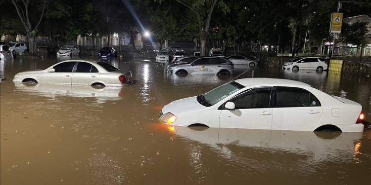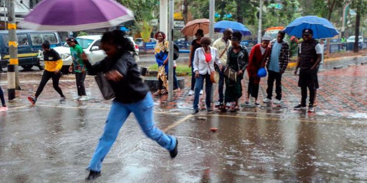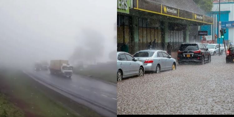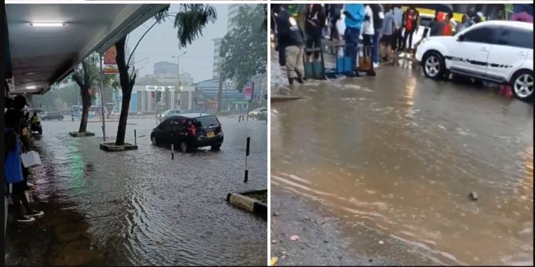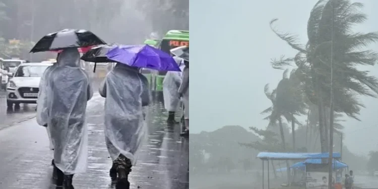



Kenya Meteorological Department (KMD) Principal Meteorologist Joyce Kimutai has said the 2026 El Niño is unlikely to produce rainfall on the scale recorded in 1997, although Kenya should still expect above-normal rainfall.
In an interview on September 9, Kimutai said the current El Niño conditions are relatively weaker than those recorded in 1997, while the Indian Ocean is also not as warm as it was during the period when the two climate systems combined to produce exceptionally heavy rainfall in East Africa.
“What we’re seeing is it’s a relatively weaker index. So our Indian Ocean is not as hot or as warm as 1997 yet. But even the forecasts are telling us that we will not get there,” she said.
She said the current conditions are somewhere between those experienced during the 1997 and 2015 El Niño events.
KMD Breaks Down Why 2026 El Niño Will Differ From 1997
According to her, the 1997 event was marked by strong El Niño conditions in the Pacific and unusually warm waters in the western Indian Ocean, a combination that contributed to very heavy rainfall across East Africa.
Kimutai said the 2015 El Niño, despite being one of the strongest on record, did not bring rainfall and flooding comparable to 1997 because the Indian Ocean did not warm in the same way.
However, Kimutai said this demonstrates that El Niño should not be treated as a direct synonym for rainfall.
“El Niño is not synonymous with rainfall. So El Niño is not rain,” she said.
Kimutai explained that El Niño is a natural climate phenomenon that occurs in the Pacific Ocean when the winds that normally move across the ocean weaken, causing heat to accumulate near the surface and be released into the atmosphere.
She said the resulting changes in atmospheric conditions can influence weather patterns in different parts of the world, with some regions experiencing increased rainfall while others face drought.
Also Read: World Meteorological Organization Issues Major El Niño Warning as New Weather Threat Emerges
How Weather Patterns Will Change
In East Africa, however, El Niño is generally associated with above-normal or enhanced rainfall.
The Principal Meteorologist said the Indian Ocean plays a major role in determining how strongly the Pacific Ocean conditions translate into rainfall over East Africa.
She described the Indian Ocean as a “broker” or “modulator” between the El Niño conditions in the Pacific and the weather experienced in the region.
For 2026, she said the Indian Ocean is not expected to reach the same level of warmth seen in 1997.
Also Read: Govt Orders Evacuation in 5 Regions Ahead of El Niño Rains
Kenya will nevertheless experience above-normal rainfall, but its distribution is expected to vary across the country.
“There will be areas that will not necessarily be very wet,” Kimutai said.
She added that some areas could experience dry spells before rainfall returns, while others could see rainfall start and stop repeatedly.
Kimutai said some areas could therefore receive rainfall, experience a dry spell and then receive more rain later, rather than having continuous rainfall throughout the season.
Follow our WhatsApp Channel and X Account for real-time news updates.